Getting to know Southend
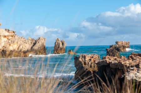
Southend is a working cray fishing port and a holiday village. The small coastal township of Southend was the first seaport in the Limestone Coast. First known as Grey town (named after Governor Grey) in 1846, between 1875 to 1879 it was known as Rivoli Bay South after which it was changed to Grey town until 1971 when it was officially named Southend.
Southend is located 27kms north of Millicent on the Southern Ports Highway (alternate Highway One). Closest to the town of Beachport, it is 20kms south of Beachport and 80kms west of Penola via Millicent.
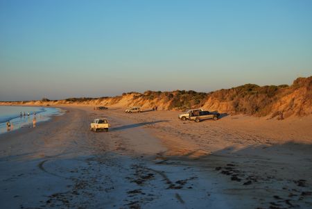
This quiet fishing port hosts one of the largest fleets of Rock Lobster fishing vessels on the Limestone Coast. The local industries are Rock Lobster fishing, aquaculture and farming.
In 1845 Captain Emmanuel Underwood established a store and jetty at the southern end of Rivoli Bay to cater for inland settlers and passing ships. In 1846 the town was surveyed and named Greytown.
Community Town Plans
Wattle Range Council has developed 10-year town plans with each township.
Each town plan can be viewed at Community Town Plans.

![]()
![]() @visitbeachport
@visitbeachport

Phone: (08) 8735 8029 or 1300 045 373
Email: beachport@wattlerange.sa.gov.au / ![]() facebook.com/Beachport
facebook.com/Beachport
Opening Hours:
Monday - Friday 9am-5pm
Weekends 10am-4pm
Winter Weekends 10am-1pm
Phone: (08) 8733 0904 or 1300 045 373
Email: millicent@wattlerange.sa.gov.au / https://www.facebook.com/MillicentVisitorInformationCentre
Opening Hours:
Monday - Friday 9am-5pm
Weekends 10am-4pm
Last Entry to Museum an hour before close
27 Arthur Street, Penola SA 5277
Phone: (08) 8737 2855 or 1300 045 373
Email: penola@wattlerange.sa.gov.au / ![]() facebook.com/PenolaCoonawarra
facebook.com/PenolaCoonawarra
Opening Hours:
Monday - Friday 9am-5pm /
Weekends 10am-4pm /