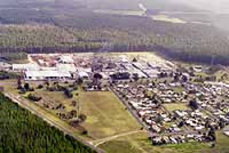
Nangwarry
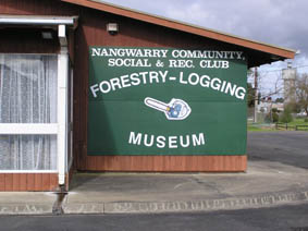
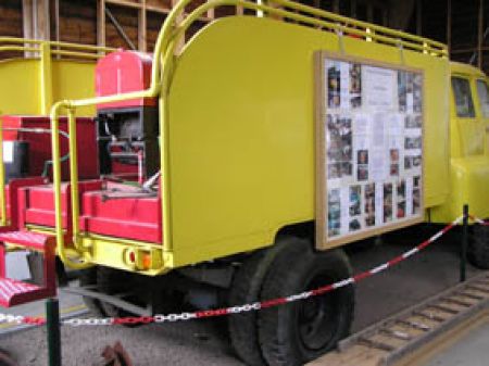
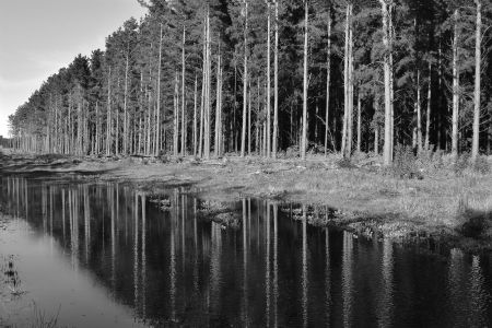
Nangwarry is one of the forestry industry townships and has its Nangwarry Forestry and Logging Museum which is an iconic legacy to the growing timber industry. Nangwarry is situated 20kms south of Penola on the Riddoch Highway. Nangwarry is closest to Penola; it is 70kms east of Millicent via Penola, and 100kms southeast of Beachport via Millicent and Penola.
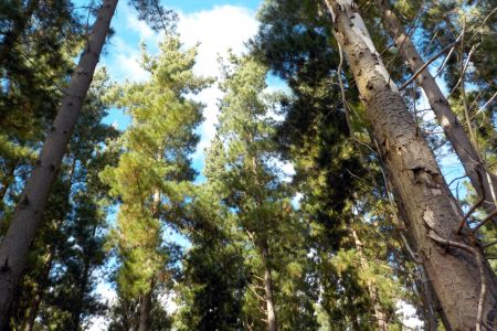
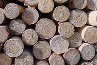
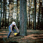
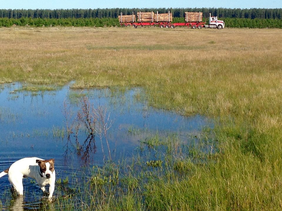
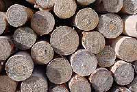
The main industries are forestry (Radiata pine), transport.
In 1939 a power station was erected to supply a timber mill, which was built in 1940. The town grew out of a demand for housing for the labourers who travelled to the area for work, many in the forest. The Government established homes, schools and shops. Migrants made up the biggest percentage of the population in what was to become a multicultural community.
Community Town Plan
The Nangwarry Community Town Plan was adopted on the 12th June 2018
Vision
The town of Nangwarry seeks sustainable growth that protects our natural and historic resources, while preserving our values, qualities and culture.
Community Town Plans
Wattle Range Council has developed 10-year town plans with each township. Each town plan can be viewed at Community Town Plans.


Phone: (08) 8735 8029 or 1300 045 373
Email: beachport@wattlerange.sa.gov.au / ![]() facebook.com/Beachport
facebook.com/Beachport
Opening Hours:
Monday - Friday 9am-5pm
Weekends 10am-4pm
Winter Weekends 10am-1pm
Phone: (08) 8733 0904 or 1300 045 373
Email: millicent@wattlerange.sa.gov.au / https://www.facebook.com/MillicentVisitorInformationCentre
Opening Hours:
Monday - Friday 9am-5pm
Weekends 10am-4pm
Last Entry to Museum an hour before close
27 Arthur Street, Penola SA 5277
Phone: (08) 8737 2855 or 1300 045 373
Email: penola@wattlerange.sa.gov.au / ![]() facebook.com/PenolaCoonawarra
facebook.com/PenolaCoonawarra
Opening Hours:
Monday - Friday 9am-5pm /
Weekends 10am-4pm /